Plik:Luxembourg adm location map.svg

Rozmiar pierwotny (Plik SVG, nominalnie 746 × 1032 pikseli, rozmiar pliku: 474 KB)
| Plik Luxembourg adm location map.svg znajduje się w Wikimedia Commons – repozytorium wolnych zasobów. Dane z jego strony opisu znajdują się poniżej. |
Opis
| Opis |
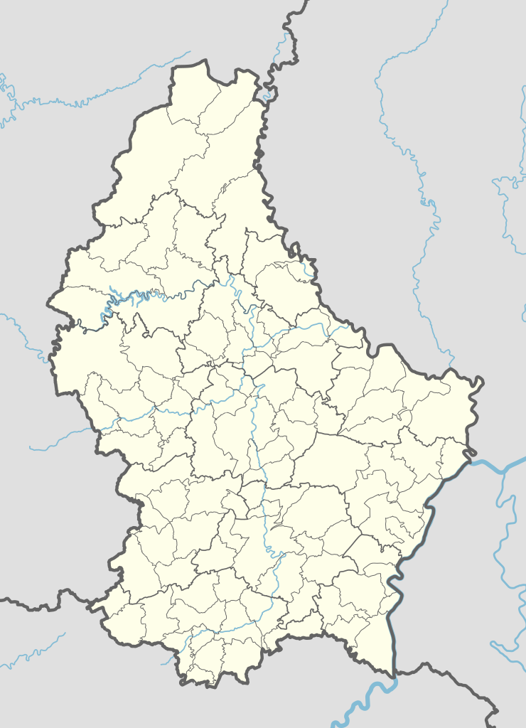
Deutsch: Positionskarte von Luxemburg
English: Location map of Luxembourg
|
||||||||||||
| Data | |||||||||||||
| Źródło |
Praca własna przy użyciu:
|
||||||||||||
| Autor | NordNordWest | ||||||||||||
| Inne wersje |
|
||||||||||||
_location_map.svg)
_location_map.svg)
Licencja
Usage of this file with:

explanatory notes: Legally binding is only the full legalcode. For a free usage I recommend to respect the following licence conditions:
1. Provide my name as given above: NordNordWest,
2. a copy of, or the URI for, the applicable license: https://creativecommons.org/licenses/by-sa/3.0/de/legalcode,
3. the title of the work,
4. in the case of an adaptation, a credit identifying the use of the work in the adaptation.
This license and the rights granted hereunder will terminate automatically upon any breach by you of the terms of this license. Any of the above conditions can be waived if you get permission from the copyright holder. If you have questions or wish differing conditions, please contact me through nnwest or my discussion page ![]() t-online.de
t-online.de
- Wolno:
- dzielić się – kopiować, rozpowszechniać, odtwarzać i wykonywać utwór
- modyfikować – tworzyć utwory zależne
- Na następujących warunkach:
- uznanie autorstwa – musisz określić autorstwo utworu, podać link do licencji, a także wskazać czy utwór został zmieniony. Możesz to zrobić w każdy rozsądny sposób, o ile nie będzie to sugerować, że licencjodawca popiera Ciebie lub Twoje użycie utworu.
- na tych samych warunkach – Jeśli zmienia się lub przekształca niniejszy utwór, lub tworzy inny na jego podstawie, można rozpowszechniać powstały w ten sposób nowy utwór tylko na podstawie tej samej lub podobnej licencji.

Ta grafika została oceniona wg kryteriów dla grafik wysokiej jakości i jest uważana za grafikę wysokiej jakości.
|
Historia pliku
Kliknij na datę/czas, aby zobaczyć, jak plik wyglądał w tym czasie.
| Data i czas | Miniatura | Wymiary | Użytkownik | Opis | |
|---|---|---|---|---|---|
| aktualny | 18:09, 10 wrz 2023 | | 746 × 1032 (474 KB) | NordNordWest | upd 2023 |
| 12:28, 8 sty 2018 |  | 746 × 1032 (476 KB) | NordNordWest | upd | |
| 11:06, 2 lis 2015 |  | 746 × 1032 (481 KB) | NordNordWest | corr | |
| 19:20, 1 lis 2015 |  | 746 × 1032 (481 KB) | NordNordWest | == {{int:filedesc}} == {{Information |Description= {{de|1=Positionskarte von Luxemburg}} {{en|1=Location map of Luxembourg}} {{Location map series N |stretching= – |top=50.25 |bottom=49.4 |left=5.65 |right=6.6 }} |Source={{Own using}} * United States... |
Lokalne wykorzystanie pliku
Poniższa strona korzysta z tego pliku:
Globalne wykorzystanie pliku
Ten plik jest wykorzystywany także w innych projektach wiki:
- Wykorzystanie na af.wikipedia.org
- Wykorzystanie na an.wikipedia.org
- Wykorzystanie na ar.wikipedia.org
- Wykorzystanie na ast.wikipedia.org
- Tribunal de Xusticia de la Xunión Europea
- Luxemburgu (ciudá)
- Módulu:Mapa de llocalización/datos/Luxemburgu
- Bancu Européu d'Inversiones
- Hôtel de la Chambre
- Castiellu de Berg
- Palaciu Gran Ducal de Luxemburgu
- Módulu:Mapa de llocalización/datos/Luxemburgu/usu
- Aeropuertu de Luxemburgu Findel
- Aeródromu de Noertrange
- Wykorzystanie na az.wikipedia.org
- Wykorzystanie na bn.wikipedia.org
- Wykorzystanie na ca.wikipedia.org
- Usuari:PereBot/cobertura/Luxemburg/ranking
- Usuari:PereBot/cobertura/Luxemburg/ca
- Usuari:PereBot/cobertura/Luxemburg/de
- Usuari:PereBot/cobertura/Luxemburg/en
- Usuari:PereBot/cobertura/Luxemburg/es
- Usuari:PereBot/cobertura/Luxemburg/fr
- Usuari:PereBot/cobertura/Luxemburg/it
- Usuari:PereBot/cobertura/Luxemburg/lb
- Usuari:PereBot/cobertura/Luxemburg/nl
- Usuari:PereBot/cobertura/Luxemburg/wa
- Mòdul:Location map/data/Luxemburg
- Mòdul:Location map/data/Luxemburg/ús
- Wykorzystanie na crh.wikipedia.org
- Wykorzystanie na de.wikipedia.org
Pokaż listę globalnego wykorzystania tego pliku.