Plik:MapOfTutuila-American-Samoa.png

Rozmiar podglądu – 800 × 519 pikseli. Inne rozdzielczości: 320 × 208 pikseli | 640 × 415 pikseli | 1024 × 664 pikseli | 1280 × 831 pikseli | 3033 × 1968 pikseli.
Rozmiar pierwotny (3033 × 1968 pikseli, rozmiar pliku: 338 KB, typ MIME: image/png)
| Plik MapOfTutuila-American-Samoa.png znajduje się w Wikimedia Commons – repozytorium wolnych zasobów. Dane z jego strony opisu znajdują się poniżej. |
Opis
| Opis |
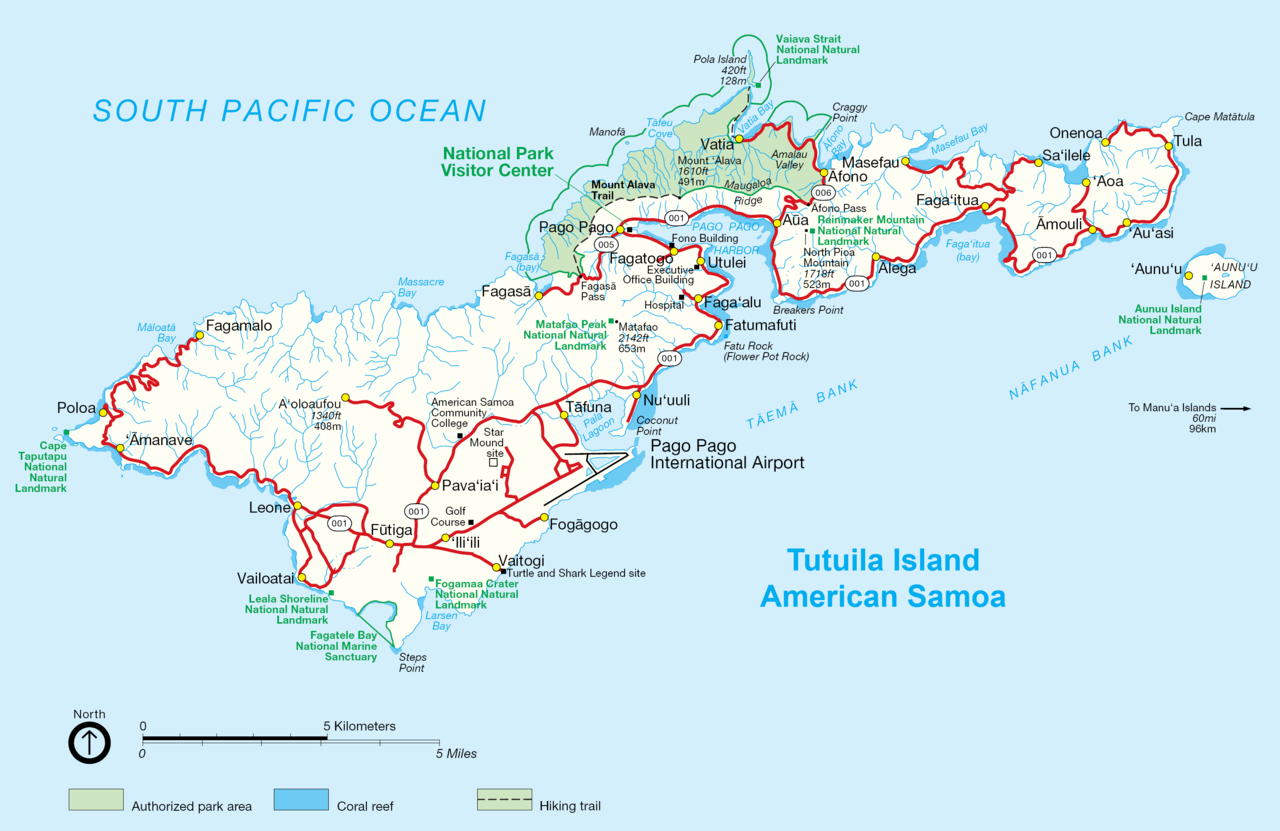
English: NPS map of Tutuila, American Samoa |
| Data | około 2002 |
| Źródło | http://www.nps.gov/archive/npsa/pdf/tutuila.pdf, modified and converted into .png |
| Autor | NPS, modified by Durin, converted by Telim tor |
| Inne wersje | Original .gif version |
Licencja
| This image or media file contains material based on a work of a National Park Service employee, created as part of that person's official duties. As a work of the U.S. federal government, such work is in the public domain in the United States. See the NPS website and NPS copyright policy for more information. |
| This work was previously under Public Domain, or a Free License. It has been digitally enhanced and/or modified. This derivative work has been (or is hereby) released into the public domain by its author, Telim tor at the German Wikipedia project. This applies worldwide. In some countries this is not legally possible; if so:
|
Historia pliku
Kliknij na datę/czas, aby zobaczyć, jak plik wyglądał w tym czasie.
| Data i czas | Miniatura | Wymiary | Użytkownik | Opis | |
|---|---|---|---|---|---|
| aktualny | 12:08, 3 paź 2009 | | 3033 × 1968 (338 KB) | Telim tor | == {{int:filedesc}} == {{Information |Description={{en|NPS map of Tutuila, Anerican Samoa}} |Source=http://www.nps.gov/archive/npsa/pdf/tutuila.pdf, modified and converted into .png |Date=ca. 2002 |Author=NPS, modified by Durin, converted |
Lokalne wykorzystanie pliku
Poniższa strona korzysta z tego pliku:
Globalne wykorzystanie pliku
Ten plik jest wykorzystywany także w innych projektach wiki:
- Wykorzystanie na az.wikipedia.org
- Wykorzystanie na cy.wikipedia.org
- Wykorzystanie na de.wikipedia.org
- Wykorzystanie na tr.wikipedia.org