Shiptonthorpe
Shiptonthorpe lub Shipton Thorpe – wieś i civil parish w Anglii, w hrabstwie East Riding of Yorkshire[2]. Leży 29 km na północny zachód od miasta Hull i 267 km na północ od Londynu[3]. W 2011 civil parish liczyła 503 mieszkańców.

| |
| Państwo | |
|---|---|
| Kraj | |
| Region | |
| Hrabstwo ceremonialne | |
| Unitary authority | |
| Populacja (2011) • liczba ludności |
|
| Nr kierunkowy |
01430 |
| Kod pocztowy |
YO43 |
Położenie na mapie East Riding of Yorkshire 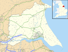 | |
Położenie na mapie Wielkiej Brytanii  | |
Położenie na mapie Anglii 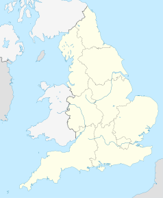 | |
| Strona internetowa | |
Przypisy edytuj
- ↑ 2011 Census: Key Statistics: Parish Headcounts: Area: Shipton Thorpe CP (Parish). [w:] Neighbourhood Statistics [on-line]. Office for National Statistics. [dostęp 2015-05-13]. [zarchiwizowane z tego adresu (2015-05-18)]. (ang.).
- ↑ Ordnance Survey linked data
- ↑ Shiptonthorpe na mapie. getamap.ordnancesurvey.co.uk. [dostęp 2010-11-27]. (ang.).