Plik:Egypt adm location map.svg

Rozmiar pierwotny (Plik SVG, nominalnie 1055 × 973 pikseli, rozmiar pliku: 331 KB)
| Plik Egypt adm location map.svg znajduje się w Wikimedia Commons – repozytorium wolnych zasobów. Dane z jego strony opisu znajdują się poniżej. |
Opis
| Opis |
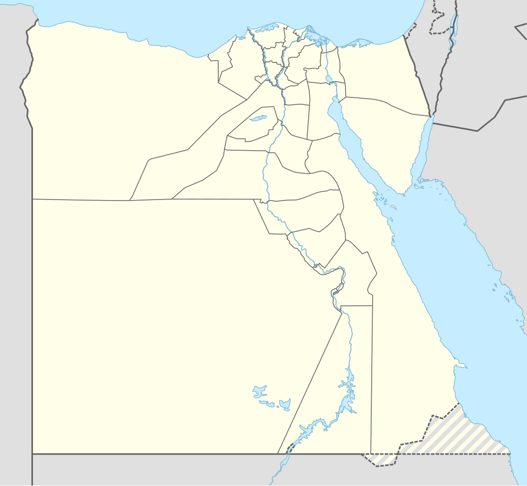
Deutsch: Positionskarte von Ägypten
English: Location map of Egypt
|
||||||||||||
| Data | |||||||||||||
| Źródło |
Praca własna przy użyciu:
|
||||||||||||
| Autor | NordNordWest | ||||||||||||
| SVG rozwój | Kod źródłowy tego poprawny. Ta mapa została stworzona za pomocą Adobe Illustrator
|
||||||||||||

Licencja
Usage of this file with:

explanatory notes: Legally binding is only the full legalcode. For a free usage I recommend to respect the following licence conditions:
1. Provide my name as given above: NordNordWest,
2. a copy of, or the URI for, the applicable license: https://creativecommons.org/licenses/by-sa/3.0/de/legalcode,
3. the title of the work,
4. in the case of an adaptation, a credit identifying the use of the work in the adaptation.
This license and the rights granted hereunder will terminate automatically upon any breach by you of the terms of this license. Any of the above conditions can be waived if you get permission from the copyright holder. If you have questions or wish differing conditions, please contact me through nnwest or my discussion page ![]() t-online.de
t-online.de
- Wolno:
- dzielić się – kopiować, rozpowszechniać, odtwarzać i wykonywać utwór
- modyfikować – tworzyć utwory zależne
- Na następujących warunkach:
- uznanie autorstwa – musisz określić autorstwo utworu, podać link do licencji, a także wskazać czy utwór został zmieniony. Możesz to zrobić w każdy rozsądny sposób, o ile nie będzie to sugerować, że licencjodawca popiera Ciebie lub Twoje użycie utworu.
- na tych samych warunkach – Jeśli zmienia się lub przekształca niniejszy utwór, lub tworzy inny na jego podstawie, można rozpowszechniać powstały w ten sposób nowy utwór tylko na podstawie tej samej lub podobnej licencji.

Historia pliku
Kliknij na datę/czas, aby zobaczyć, jak plik wyglądał w tym czasie.
| Data i czas | Miniatura | Wymiary | Użytkownik | Opis | |
|---|---|---|---|---|---|
| aktualny | 22:51, 17 sty 2017 | | 1055 × 973 (331 KB) | NordNordWest | corr |
| 18:48, 9 lis 2014 |  | 1055 × 973 (331 KB) | NordNordWest | == {{int:filedesc}} == {{Information |Description= {{de|1=Positionskarte von Ägypten}} {{en|1=Location map of Egypt}} {{Location map series N |stretching=111,8685 |top=32.1 |bottom=21.3 |left=24.2 |right=37.3 }} |Source={{Own using}} * United States N... |
Lokalne wykorzystanie pliku
Z tego pliku korzysta więcej niż 100 stron. Poniższa lista pokazuje jedynie 100 pierwszych z nich. Dostępna jest również pełna lista.
- Abu Gurab
- Abu Mena
- Abu Roasz
- Abu Rudajs
- Abu Simbel
- Abu Zanima
- Abusir
- Abydos
- Achmim
- Ad-Daba
- Al-Alamajn
- Al-Arisz
- Al-Azhar
- Al-Dżuna
- Al-Farafira
- Al-Kusajr (Egipt)
- Al-Lahun
- Al-Mahalla al-Kubra
- Al-Mansura
- Al-Ma’adi
- Al-Minja
- Aleksandria
- Amarna
- As-Sallum
- Asjut
- Asuan
- At-Tur
- Awaris
- Az-Zakazik
- Banha
- Bani Suwajf
- Biblioteka Aleksandryjska
- Bibliotheca Alexandrina
- Bilkas
- Buto
- Charga
- Czerwona Piramida
- Dahab
- Dahszur
- Damanhur
- Damietta
- Dendera
- Edfu
- Egipt
- Fajum (miasto)
- Franciszkańskie Centrum Studiów o Chrześcijańskim Wschodzie
- Giza
- Heliopolis (Egipt)
- Heluan
- Hermopolis
- Hibe
- Hierasykaminos
- Ismailia
- Kafr ad-Dawwar
- Kafr asz-Szajch
- Kair
- Karnak
- Kina (miasto)
- Klasztor Świętej Katarzyny
- Kom Ombo
- Latarnia morska na Faros
- Lista państw świata
- Majdum
- Mallawi
- Marsa Matruh
- Medinet Habu
- Memfis
- Muzeum Egipskie w Kairze
- Nachl
- Nadż Hammadi
- Nuwajbi
- Piramida Chefrena
- Piramida Cheopsa
- Piramida Dżesera
- Piramida Mykerinosa
- Piramida Sahure
- Piramida w Meidum
- Piramida Łamana
- Port Said
- Port lotniczy Hurghada
- Port lotniczy Kair
- Rosetta (miasto)
- Safadża
- Sais
- Sakkara
- Sarabit al-Chadim
- Sauhadż
- Siwa (oaza)
- Stadion Międzynarodowy w Kairze
- Starożytny Egipt
- Suez
- Szarm el-Szejk
- Szibin al-Kaum
- Szubra al-Chajma
- Taba
- Tanis (Egipt)
- Tanta
- Teby (Egipt)
- Tunel Ahmada Hamdiego
- Zamach w Dahab (2006)
Pokaż więcej odnośników do tego pliku.
Globalne wykorzystanie pliku
Ten plik jest wykorzystywany także w innych projektach wiki:
- Wykorzystanie na af.wikipedia.org
- Wykorzystanie na an.wikipedia.org
- Wykorzystanie na ar.wikipedia.org
Pokaż listę globalnego wykorzystania tego pliku.