Plik:HongKong boundary from space.png
Rozmiar podglądu – 800 × 517 pikseli. Inne rozdzielczości: 320 × 207 pikseli | 640 × 414 pikseli | 1024 × 662 pikseli.
Rozmiar pierwotny (1024 × 662 pikseli, rozmiar pliku: 1,38 MB, typ MIME: image/png)
| Plik HongKong boundary from space.png znajduje się w Wikimedia Commons – repozytorium wolnych zasobów. Dane z jego strony opisu znajdują się poniżej. |
Opis
| Opis |
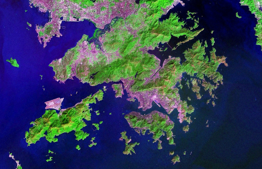
中文(简体):香港卫星图像。城市区域为粉红色,有植物覆盖的区域为绿色。 English: Satellite Image of Hong Kong. Urban areas are in pink, vegetation is in green. |
| Data | (UTC) |
| Źródło | NASA World Wind Software |
| Autor | NASA |
| Inne wersje | Image:Hong Kong anotated zh.gif |
Licencja
| This image is in the public domain because it is a screenshot from NASA’s globe software World Wind using a public domain layer, such as Blue Marble, MODIS, Landsat, SRTM, USGS or GLOBE.
|
 |
This file was reviewed on 12 February 2010 by the administrator or trusted user Rambo's Revenge (en.wiki), who confirmed the Public Domain status on that date.
|
Historia pliku
Kliknij na datę/czas, aby zobaczyć, jak plik wyglądał w tym czasie.
| Data i czas | Miniatura | Wymiary | Użytkownik | Opis | |
|---|---|---|---|---|---|
| aktualny | 09:20, 5 lis 2006 | | 1024 × 662 (1,38 MB) | Tonync~commonswiki | {{Information |Description= Satellite Image of Hong Kong |Source= NASA World Wind Software |Date= ~~~~~ |Author= NASA |Permission= {{NASA}} |other_versions= }} Category:Satellite pictures of Hong Kong |
Lokalne wykorzystanie pliku
Poniższa strona korzysta z tego pliku:
Globalne wykorzystanie pliku
Ten plik jest wykorzystywany także w innych projektach wiki:
- Wykorzystanie na af.wikipedia.org
- Wykorzystanie na ar.wikipedia.org
- Wykorzystanie na as.wikipedia.org
- Wykorzystanie na bg.wikipedia.org
- Wykorzystanie na bn.wikipedia.org
- Wykorzystanie na en.wikipedia.org
- Wykorzystanie na eu.wikipedia.org
- Wykorzystanie na fr.wikipedia.org
- Wykorzystanie na fy.wikipedia.org
- Wykorzystanie na hr.wikipedia.org
- Wykorzystanie na id.wikipedia.org
- Wykorzystanie na ja.wikipedia.org
- Wykorzystanie na ka.wikipedia.org
- Wykorzystanie na ko.wikipedia.org
- Wykorzystanie na ms.wikipedia.org
- Wykorzystanie na pam.wikipedia.org
- Wykorzystanie na pcd.wikipedia.org
- Wykorzystanie na pl.wiktionary.org
- Wykorzystanie na pt.wikipedia.org
- Wykorzystanie na ro.wikipedia.org
- Wykorzystanie na sh.wikipedia.org
- Wykorzystanie na sr.wikipedia.org
- Wykorzystanie na tl.wikipedia.org
- Wykorzystanie na ug.wikipedia.org
- Wykorzystanie na www.wikidata.org
- Wykorzystanie na zh-yue.wikipedia.org
- Wykorzystanie na zh.wikipedia.org