Plik:Boundary - geograph.org.uk - 683061.jpg
Grafika w wyższej rozdzielczości nie jest dostępna.
Boundary_-_geograph.org.uk_-_683061.jpg (640 × 451 pikseli, rozmiar pliku: 83 KB, typ MIME: image/jpeg)
| Plik Boundary - geograph.org.uk - 683061.jpg znajduje się w Wikimedia Commons – repozytorium wolnych zasobów. Dane z jego strony opisu znajdują się poniżej. |
Opis
| Opis |
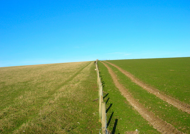
English: Boundary A physical and geographical boundary here, the fence marks the separation of the two fields as well as that of two district councils; Mid Sussex administers the land on the left and Lewes that on right. The footpath from Lower Standean to Keymer Post lies in the realm of MId Sussex. |
| Data | |
| Źródło | From geograph.org.uk |
| Autor | Simon Carey |
| Uznanie autorstwa (wymagana przez licencję) | Simon Carey / Boundary / |
| Pozycja fotografa | | To i inne zdjęcia na: OpenStreetMap |
|---|
_heading:22.00&language=pl)
| Pozycja obiektu | | To i inne zdjęcia na: OpenStreetMap |
|---|
_heading:22.00&language=pl)
Licencja

|
Ta grafika pochodzi z kolekcji projektu Geograph. Aby zobaczyć szczegóły możesz odwiedzić stronę tego zdjęcia w serwisie Geograph. Prawa autorskie do tej grafiki posiada Simon Carey i jest ona udostępniona na licencji Creative Commons Uznanie autorstwa – Na tych samych warunkach 2.0.
|
Ten plik udostępniony jest na licencji Creative Commons Uznanie autorstwa – Na tych samych warunkach 2.0.
Uznanie autorstwa: Simon Carey
- Wolno:
- dzielić się – kopiować, rozpowszechniać, odtwarzać i wykonywać utwór
- modyfikować – tworzyć utwory zależne
- Na następujących warunkach:
- uznanie autorstwa – musisz określić autorstwo utworu, podać link do licencji, a także wskazać czy utwór został zmieniony. Możesz to zrobić w każdy rozsądny sposób, o ile nie będzie to sugerować, że licencjodawca popiera Ciebie lub Twoje użycie utworu.
- na tych samych warunkach – Jeśli zmienia się lub przekształca niniejszy utwór, lub tworzy inny na jego podstawie, można rozpowszechniać powstały w ten sposób nowy utwór tylko na podstawie tej samej lub podobnej licencji.
Historia pliku
Kliknij na datę/czas, aby zobaczyć, jak plik wyglądał w tym czasie.
| Data i czas | Miniatura | Wymiary | Użytkownik | Opis | |
|---|---|---|---|---|---|
| aktualny | 03:02, 8 lut 2011 | | 640 × 451 (83 KB) | GeographBot | == {{int:filedesc}} == {{Information |description={{en|1=Boundary A physical and geographical boundary here, the fence marks the separation of the two fields as well as that of two district councils; Mid Sussex administers the land on the left and Lewes t |
Lokalne wykorzystanie pliku
Poniższa strona korzysta z tego pliku:
Globalne wykorzystanie pliku
Ten plik jest wykorzystywany także w innych projektach wiki:
- Wykorzystanie na ceb.wikipedia.org
- Wykorzystanie na cy.wikipedia.org
- Wykorzystanie na it.wikipedia.org
- Wykorzystanie na ja.wikipedia.org
- Wykorzystanie na no.wikipedia.org
- Wykorzystanie na ro.wikipedia.org
- Wykorzystanie na ru.wikipedia.org
- Wykorzystanie na ur.wikipedia.org
- Wykorzystanie na www.wikidata.org