Plik:Gloucestershire UK location map.svg

Wielkość pliku podglądu PNG dla pliku SVG: 516 × 600 pikseli Inne rozdzielczości: 206 × 240 pikseli | 413 × 480 pikseli | 661 × 768 pikseli | 881 × 1024 pikseli | 1762 × 2048 pikseli | 1089 × 1266 pikseli.
Rozmiar pierwotny (Plik SVG, nominalnie 1089 × 1266 pikseli, rozmiar pliku: 2,27 MB)
| Plik Gloucestershire UK location map.svg znajduje się w Wikimedia Commons – repozytorium wolnych zasobów. Dane z jego strony opisu znajdują się poniżej. |
| Opis |
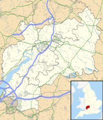
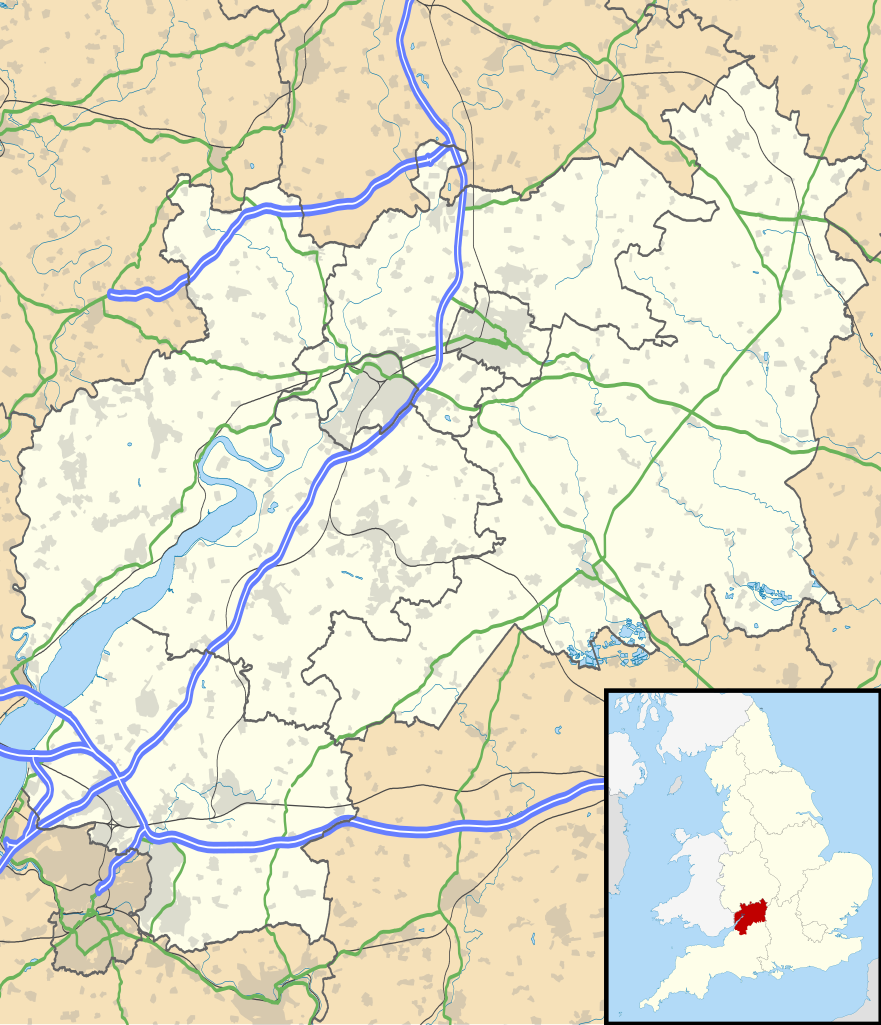
Map of Gloucestershire, UK with the following information shown:
Equirectangular map projection on WGS 84 datum, with N/S stretched 160% Geographic limits:
|
| Data | |
| Źródło |
|
| Autor | Nilfanion, created using Ordnance Survey data |
| Licencja (Ponowne użycie tego pliku) |
Ten plik udostępniony jest na licencji Creative Commons Uznanie autorstwa – Na tych samych warunkach 3.0. Uznanie autorstwa: Contains Ordnance Survey data © Crown copyright and database right
|
| Inne wersje | File:Gloucestershire UK district map (blank).svg - Blank map |
.svg)
Historia pliku
Kliknij na datę/czas, aby zobaczyć, jak plik wyglądał w tym czasie.
| Data i czas | Miniatura | Wymiary | Użytkownik | Opis | |
|---|---|---|---|---|---|
| aktualny | 20:53, 26 wrz 2010 | | 1089 × 1266 (2,27 MB) | Nilfanion | {{Information |Description=Map of Gloucestershire, UK with the following information shown: *Administrative borders *Coastline, lakes and rivers *Roads and railways *Urban areas Equirectangular map projection on WGS 84 datum, with N |
Lokalne wykorzystanie pliku
Z tego pliku korzysta więcej niż 100 stron. Poniższa lista pokazuje jedynie 100 pierwszych z nich. Dostępna jest również pełna lista.
- Abenhall
- Ablington (Gloucestershire)
- Abson
- Acton Turville
- Adlestrop
- Alderley
- Alderton (Gloucestershire)
- Aldsworth
- Alkerton (Gloucestershire)
- Alkington (Gloucestershire)
- Allaston
- Almondsbury
- Alstone (Tewkesbury)
- Alveston
- Alvington
- Amberley (Gloucestershire)
- Ampney Crucis
- Ampney St Mary
- Ampney St Peter
- Andoversford
- Anthony’s Cross
- Apperley
- Arlebrook
- Arlingham
- Arlington (Gloucestershire)
- Ashchurch
- Ashleworth
- Ashley (Gloucestershire)
- Aston Subedge
- Aust
- Avening
- Awkley
- Awre
- Aylburton
- Aylworth
- Aztec West
- Badgeworth
- Badminton (Gloucestershire)
- Bagendon
- Bagstone
- Baker’s Hill
- Ball’s Green
- Bamfurlong (Gloucestershire)
- Barnsley (Gloucestershire)
- Barrington (Gloucestershire)
- Barrow (Gloucestershire)
- Barton (Gloucestershire)
- Barton End
- Batsford
- Battledown
- Battlescombe
- Baunton
- Beach (Gloucestershire)
- Beachley
- Bencombe
- Bengrove
- Berkeley (Wielka Brytania)
- Berry Hill (Gloucestershire)
- Beverston
- Bibstone
- Bourton-on-the-Water
- Bradley Stoke
- Bristol Parkway
- Cheltenham
- Cheltenham Spa
- Chipping Campden
- Chipping Sodbury
- Cinderford
- Cirencester
- Coleford
- Cribbs Causeway
- Dursley
- Fairford
- Filton
- Gatcombe Park
- Gloucester
- Gloucestershire
- Highgrove
- Kingswood
- Lechlade-on-Thames
- Lydney
- Minchinhampton
- Mitcheldean
- Moreton-in-Marsh
- Nailsworth
- Newent
- Northleach
- Painswick
- Patchway
- Port lotniczy Gloucester
- Severn Beach (stacja kolejowa)
- Severn Bridge
- Stonehouse (Gloucestershire)
- Stow-on-the-Wold
- Stroud
- Tetbury
- Tewkesbury
- Thornbury (Gloucestershire)
- Whaddon Road
- Winchcombe
Pokaż więcej odnośników do tego pliku.
Globalne wykorzystanie pliku
Ten plik jest wykorzystywany także w innych projektach wiki:
- Wykorzystanie na ar.wikipedia.org
- Wykorzystanie na bg.wikipedia.org
- Wykorzystanie na bn.wikipedia.org
- Wykorzystanie na ceb.wikipedia.org
- Wykorzystanie na en.wikipedia.org
- Stow-on-the-Wold
- Deerhurst
- Thornbury, Gloucestershire
- WWT Slimbridge
- Dymock
- Bradley Stoke
- Dursley
- Cirencester
- Chedworth
- Kempley
- Yate
- Tewkesbury
- Stroud
- Moreton-in-Marsh
- Chipping Campden
- Lechlade
- Painswick
- Winchcombe
- Winterbourne, Gloucestershire
- Cinderford
- Lydney
- Berkeley, Gloucestershire
- Berkeley Castle
- Kingswood, South Gloucestershire
- RAF Fairford
- Newent
- Nailsworth
- Wotton-under-Edge
- North Nibley
- Charfield
Pokaż listę globalnego wykorzystania tego pliku.