Plik:Isere department location map.svg

Wielkość pliku podglądu PNG dla pliku SVG: 600 × 600 pikseli Inne rozdzielczości: 240 × 240 pikseli | 480 × 480 pikseli | 768 × 768 pikseli | 1024 × 1024 pikseli | 2048 × 2048 pikseli | 1050 × 1050 pikseli.
Rozmiar pierwotny (Plik SVG, nominalnie 1050 × 1050 pikseli, rozmiar pliku: 108 KB)
| Plik Isere department location map.svg znajduje się w Wikimedia Commons – repozytorium wolnych zasobów. Dane z jego strony opisu znajdują się poniżej. |
Opis
| Opis |
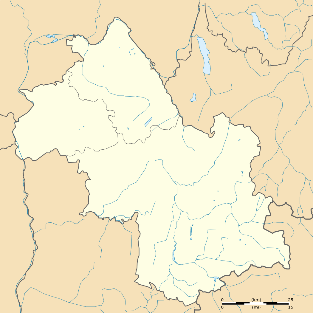
Français : Carte administrative vierge du département de l'Isère, France, destinée à la géolocalisation.
Equirectangular projection
|
| Data | |
| Źródło | Praca własna |
| Autor | Pedro38 |
Licencja
Ja, właściciel praw autorskich do tego dzieła, udostępniam je na poniższej licencji
Ten plik udostępniony jest na licencji Creative Commons Uznanie autorstwa – Na tych samych warunkach 3.0.
- Wolno:
- dzielić się – kopiować, rozpowszechniać, odtwarzać i wykonywać utwór
- modyfikować – tworzyć utwory zależne
- Na następujących warunkach:
- uznanie autorstwa – musisz określić autorstwo utworu, podać link do licencji, a także wskazać czy utwór został zmieniony. Możesz to zrobić w każdy rozsądny sposób, o ile nie będzie to sugerować, że licencjodawca popiera Ciebie lub Twoje użycie utworu.
- na tych samych warunkach – Jeśli zmienia się lub przekształca niniejszy utwór, lub tworzy inny na jego podstawie, można rozpowszechniać powstały w ten sposób nowy utwór tylko na podstawie tej samej lub podobnej licencji.
Historia pliku
Kliknij na datę/czas, aby zobaczyć, jak plik wyglądał w tym czasie.
| Data i czas | Miniatura | Wymiary | Użytkownik | Opis | |
|---|---|---|---|---|---|
| aktualny | 14:26, 2 mar 2012 | | 1050 × 1050 (108 KB) | Pedro38 |
Lokalne wykorzystanie pliku
Z tego pliku korzysta więcej niż 100 stron. Poniższa lista pokazuje jedynie 100 pierwszych z nich. Dostępna jest również pełna lista.
- Agnin
- Allemond
- Ambel (Francja)
- Anjou (miejscowość)
- Annoisin-Chatelans
- Anthon
- Aoste (Francja)
- Apprieu
- Arandon
- Artas
- Arzay
- Assieu
- Auberives-sur-Varèze
- Auris
- Autrans
- Avignonet
- Badinières
- Balbins
- Barraux
- Beaucroissant
- Beaufin
- Beaufort (Isère)
- Beaulieu (Isère)
- Beaurepaire (Isère)
- Beauvoir-de-Marc
- Beauvoir-en-Royans
- Bellegarde-Poussieu
- Belmont (Isère)
- Bernin
- Besse (Isère)
- Bessins
- Bilieu
- Biol
- Biviers
- Bizonnes
- Blandin
- Bonnefamille
- Bossieu
- Bougé-Chambalud
- Bourgoin-Jallieu
- Bouvesse-Quirieu
- Brangues
- Bressieux
- Bresson
- Brion (Isère)
- Brié-et-Angonnes
- Brézins
- Buisse
- Burcin
- Bévenais
- Chalon (miejscowość)
- Chamagnieu
- Champ-sur-Drac
- Champagnier
- Champier
- Chanas
- Chantelouve
- Chantesse
- Chapareillan
- Charancieu
- Charantonnay
- Charavines
- Charette (Isère)
- Charnècles
- Charvieu-Chavagneux
- Chasse-sur-Rhône
- Chasselay (Isère)
- Chassignieu
- Chatte
- Chavanoz
- Chevrières (Isère)
- Cheyssieu
- Chichilianne
- Chimilin
- Chirens
- Chonas-l’Amballan
- Chozeau
- Chuzelles
- Châbons
- Château-Bernard
- Châteauvilain
- Châtelus (Isère)
- Châtenay (Isère)
- Châtonnay
- Chèzeneuve
- Chélieu
- Grenoble
- La Balme-les-Grottes
- La Buissière
- La Bâtie-Divisin
- La Bâtie-Montgascon
- La Chapelle-de-Surieu
- La Chapelle-de-la-Tour
- La Chapelle-du-Bard
- Le Bouchage (Isère)
- Le Bourg-d’Oisans
- Le Champ-près-Froges
- Le Cheylas
- Les Abrets
- Les Adrets
Pokaż więcej odnośników do tego pliku.
Globalne wykorzystanie pliku
Ten plik jest wykorzystywany także w innych projektach wiki:
- Wykorzystanie na als.wikipedia.org
- Wykorzystanie na de.wikipedia.org
- Wykorzystanie na eo.wikipedia.org
- Grenoblo
- Vienne (Isère)
- Bourgoin-Jallieu
- Fontaine (Isère)
- Échirolles
- Ŝablono:Situo sur mapo Francio Isère
- Saint-Martin-d'Hères
- Saint-André-le-Gaz
- Villard-de-Lans
- Grenoble (stacidomo)
- Bourgoin-Jallieu (stacidomo)
- Échirolles (stacidomo)
- Le Grand-Lemps (stacidomo)
- Le Grand-Lemps
- Voreppe (stacidomo)
- Voreppe
- Voiron (stacidomo)
- Voiron
- Brignoud (stacidomo)
- Villard-Bonnot
- Châbons (stacidomo)
- Châbons
- Goncelin (stacidomo)
- Goncelin
- Grenoble-Universités-Gières (stacidomo)
- Gières
- Lancey (stacidomo)
- Saint-André-le-Gaz (stacidomo)
- Virieu-sur-Bourbre (stacidomo)
- Panissage
- Val-de-Virieu
- Virieu
- Vinay (stacidomo)
- Vinay (Isère)
- Moirans (stacidomo)
- Moirans
- Poliénas (stacidomo)
- Poliénas
- Pontcharra-sur-Bréda (stacidomo)
- Pontcharra
- Allevard
- Réaumont - Saint-Cassien (stacidomo)
Pokaż listę globalnego wykorzystania tego pliku.