Plik:Norton Malreward.jpg
Rozmiar pierwotny (3888 × 2592 pikseli, rozmiar pliku: 6,14 MB, typ MIME: image/jpeg)
| Plik Norton Malreward.jpg znajduje się w Wikimedia Commons – repozytorium wolnych zasobów. Dane z jego strony opisu znajdują się poniżej. |
| Opis |
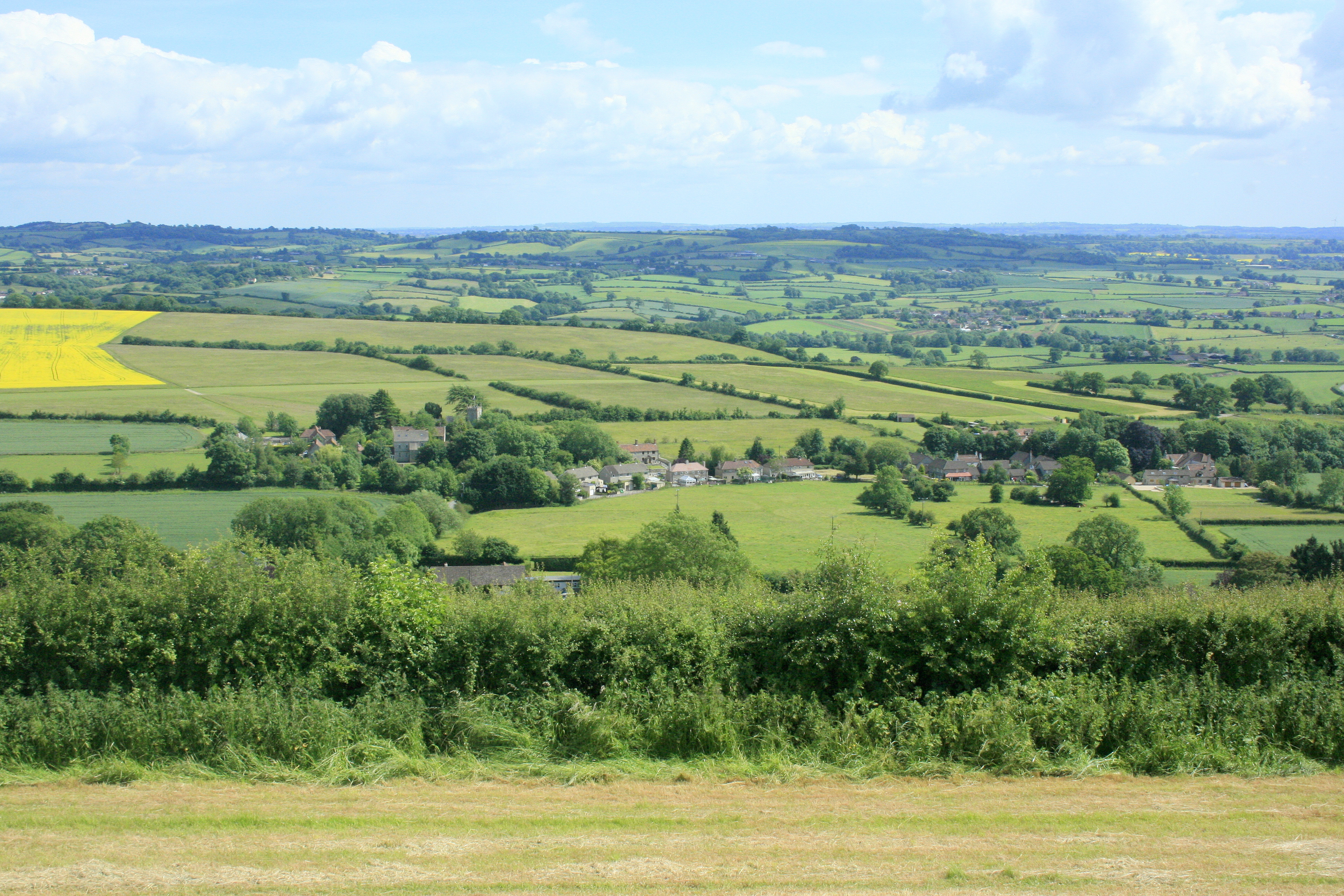
English: Norton Malreward from Maes Knoll. Turning right from 1383481 and facing almost due south, Norton Malreward appears, its parish church can be seen among the trees.
An interesting story is told in: http://www.themodernantiquarian.com/post/39162/maes_knoll.html "This [Maes Knoll] is where Hautville's Quoit was thrown from, by Sir John Haut(e)ville (you can read more about this on the Hautville's Quoit page). He was just rehearsing for a throwing match with the Devil, which he ended up winning by throwing a rock from Shute Shelve to Compton Bishop (about a mile and a half) - the Devil threw 3 furlongs shorter. (from Grinsell's folklore book I think). Sir John is apparently bured [sic] in Chew Magna church, where there's an oak effigy of him. This gentleman was remarkable for prodigious strength, as the Irish oak is probably intended to denote. Vulgar tradition informs us, that Edward the First having requested Sir John to shew him a specimen of his abilities, the knight undertook to convey three of the stoutest men in England to the top of Norton Tower [Norton Malreward is at the foot of Maes Knoll], situated in a neighbouring parish. Accordingly, taking one under each arm, and a third in his teeth, he proceeded on his task. The two in his arms, making some resistance, were squeezed to death, but the other was carried up without sustaining the smallest injury" |
| Data | |
| Źródło | From geograph.org.uk |
| Autor | Maurice Pullin |
| Licencja (Ponowne użycie tego pliku) |
Creative Commons Attribution Share-alike license 2.0 |
| Pozycja fotografa | | To i inne zdjęcia na: OpenStreetMap |
|---|
Licencja

|
Ta grafika pochodzi z kolekcji projektu Geograph. Aby zobaczyć szczegóły możesz odwiedzić stronę tego zdjęcia w serwisie Geograph. Prawa autorskie do tej grafiki posiada Maurice Pullin i jest ona udostępniona na licencji Creative Commons Uznanie autorstwa – Na tych samych warunkach 2.0.
|
- Wolno:
- dzielić się – kopiować, rozpowszechniać, odtwarzać i wykonywać utwór
- modyfikować – tworzyć utwory zależne
- Na następujących warunkach:
- uznanie autorstwa – musisz określić autorstwo utworu, podać link do licencji, a także wskazać czy utwór został zmieniony. Możesz to zrobić w każdy rozsądny sposób, o ile nie będzie to sugerować, że licencjodawca popiera Ciebie lub Twoje użycie utworu.
- na tych samych warunkach – Jeśli zmienia się lub przekształca niniejszy utwór, lub tworzy inny na jego podstawie, można rozpowszechniać powstały w ten sposób nowy utwór tylko na podstawie tej samej lub podobnej licencji.
Historia pliku
Kliknij na datę/czas, aby zobaczyć, jak plik wyglądał w tym czasie.
| Data i czas | Miniatura | Wymiary | Użytkownik | Opis | |
|---|---|---|---|---|---|
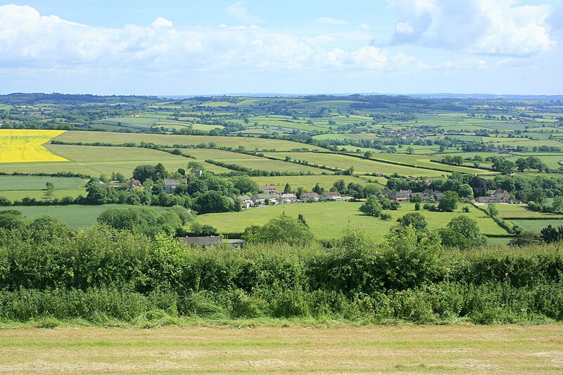
| aktualny | 01:11, 9 wrz 2017 | | 3888 × 2592 (6,14 MB) | Geograph Update Bot | Higher-resolution version from Geograph. |
| 11:42, 4 paź 2009 |  | 640 × 427 (150 KB) | Rodw | {{Information |Description=Norton Malreward from Maes Knoll |Source=From [http://www.geograph.org.uk/photo/1384392 geograph.org.uk] |Date=2009-06-16 |Author=[http://www.geograph.org.uk/profile/14368 Maurice Pullin] |Permission=Creative Commons Attribution |
Lokalne wykorzystanie pliku
Poniższa strona korzysta z tego pliku:
Globalne wykorzystanie pliku
Ten plik jest wykorzystywany także w innych projektach wiki:
- Wykorzystanie na ceb.wikipedia.org
- Wykorzystanie na en.wikipedia.org
- Wykorzystanie na fr.wikipedia.org
- Wykorzystanie na lld.wikipedia.org
- Wykorzystanie na www.wikidata.org
- Wykorzystanie na zh-min-nan.wikipedia.org