Plik:Worcestershire UK location map.svg

Wielkość pliku podglądu PNG dla pliku SVG: 677 × 600 pikseli Inne rozdzielczości: 271 × 240 pikseli | 542 × 480 pikseli | 867 × 768 pikseli | 1156 × 1024 pikseli | 2313 × 2048 pikseli | 1425 × 1262 pikseli.
Rozmiar pierwotny (Plik SVG, nominalnie 1425 × 1262 pikseli, rozmiar pliku: 1,8 MB)
| Plik Worcestershire UK location map.svg znajduje się w Wikimedia Commons – repozytorium wolnych zasobów. Dane z jego strony opisu znajdują się poniżej. |
| Opis |
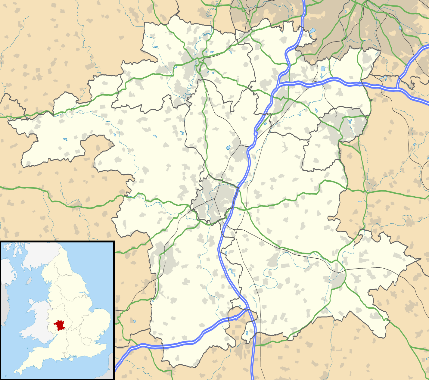
Map of Worcestershire, UK with the following information shown:
Equirectangular map projection on WGS 84 datum, with N/S stretched 160% Geographic limits:
|
| Data | |
| Źródło |
|
| Autor | Nilfanion, created using Ordnance Survey data |
| Licencja (Ponowne użycie tego pliku) |
Ten plik udostępniony jest na licencji Creative Commons Uznanie autorstwa – Na tych samych warunkach 3.0. Uznanie autorstwa: Contains Ordnance Survey data © Crown copyright and database right
|
| Inne wersje | File:Worcestershire UK district map (blank).svg - Blank map |
.svg)
Historia pliku
Kliknij na datę/czas, aby zobaczyć, jak plik wyglądał w tym czasie.
| Data i czas | Miniatura | Wymiary | Użytkownik | Opis | |
|---|---|---|---|---|---|
| aktualny | 21:20, 26 wrz 2010 | | 1425 × 1262 (1,8 MB) | Nilfanion | {{Information |Description=Map of Worcestershire, UK with the following information shown: *Administrative borders *Coastline, lakes and rivers *Roads and railways *Urban areas Equirectangular map projection on WGS 84 datum, with N/S |
Lokalne wykorzystanie pliku
Z tego pliku korzysta więcej niż 100 stron. Poniższa lista pokazuje jedynie 100 pierwszych z nich. Dostępna jest również pełna lista.
- Ab Lench
- Abberley
- Abberton (Worcestershire)
- Abbots Morton
- Aldington (Worcestershire)
- Alfrick
- Alfrick Pound
- Alvechurch
- Areley Kings
- Ashton under Hill
- Astley (Worcestershire)
- Astley Cross
- Aston Fields
- Aston Somerville
- Astwood Bank
- Atch Lench
- Axborough
- Badsey
- Bank Street (Worcestershire)
- Barnards Green
- Barnt Green
- Baughton
- Bayton
- Beckford
- Belbroughton
- Bell End
- Bengeworth
- Beoley
- Berrington (Worcestershire)
- Berrington Green
- Berrow (Worcestershire)
- Berrow Green
- Besford
- Besford Bridge
- Bewdley
- Bickmarsh
- Birlingham
- Birts Street
- Birtsmorton
- Bishampton
- Blackminster
- Blackwell (Worcestershire)
- Blakedown
- Blakeshall
- Bliss Gate
- Bockleton
- Bordesley (Worcestershire)
- Bournheath
- Bowling Green (Worcestershire)
- Bradley Green (Worcestershire)
- Bransford
- Bredon
- Bretforton
- Bricklehampton
- Broadwas
- Broadway (Worcestershire)
- Broadway Tower
- Bromsgrove
- Broome (Worcestershire)
- Broughton Hackett
- Burcot (Worcestershire)
- Bushley
- Callow End
- Callow Hill (Redditch)
- Castlemorton
- Catshill
- Caunsall
- Chaddesley Corbett
- Charlton (Fladbury)
- Childswickham
- Church Lench
- Churchill in Halfshire
- Claines
- Cleeve Prior
- Clent
- Clevelode
- Clifton (Worcestershire)
- Clifton upon Teme
- Clows Top
- Cofton Hackett
- Cookhill
- Cookley (Worcestershire)
- Cotheridge
- Crabbs Cross
- Croome D'Abitot
- Cropthorne
- Crossway Green
- Crowle (Worcestershire)
- Cruise Hill
- Droitwich Spa
- Evesham
- Great Malvern
- Kidderminster
- Lower Broadheath
- Malvern (Worcestershire)
- Pershore
- Redditch
- Stourport-on-Severn
- Tenbury Wells
- Upton upon Severn
Pokaż więcej odnośników do tego pliku.
Globalne wykorzystanie pliku
Ten plik jest wykorzystywany także w innych projektach wiki:
- Wykorzystanie na ar.wikipedia.org
- Wykorzystanie na bg.wikipedia.org
- Wykorzystanie na ceb.wikipedia.org
- Wykorzystanie na en.wikipedia.org
- Kidderminster
- Battle of Worcester
- Worcester Cathedral
- Droitwich Spa
- Evesham
- Bromsgrove
- Bewdley
- Malvern, Worcestershire
- Pershore
- Upton-upon-Severn
- Stourport-on-Severn
- Stoke Heath, Worcestershire
- Tenbury Wells
- Barnt Green
- Great Malvern
- Bredon
- Wythall
- Hollywood, Worcestershire
- Lindridge
- Abberley
- Malvern Wells
- Hartlebury
- Bordesley, Worcestershire
- Wadborough
- Malvern Link
- Tardebigge
- Shelsley Walsh
- Barnards Green
- Pinvin
- Broadway, Worcestershire
- The Fleece Inn
- Droitwich Transmitting Station
- Eckington, Worcestershire
- Alvechurch
- Areley Kings
- Leigh, Worcestershire
- Romsley, Worcestershire
- Lickey
- Lickey End
- Cofton Hackett
- Upper Arley
- Kempsey, Worcestershire
- List of places in Worcestershire
- Hopwood, Worcestershire
- Ryall, Worcestershire
- Hopwood Park services
Pokaż listę globalnego wykorzystania tego pliku.