Albert Village
Albert Village – wieś w Anglii, w hrabstwie Leicestershire, w dystrykcie North West Leicestershire. Leży 31 km na północny zachód od miasta Leicester i 169 km na północny zachód od Londynu[1].

| |
| Państwo | |
|---|---|
| Kraj | |
| Region | |
| Hrabstwo | |
| Dystrykt | |
| Nr kierunkowy |
01283 |
| Kod pocztowy |
DE11 |
Położenie na mapie Leicestershire 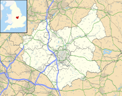 | |
Położenie na mapie Wielkiej Brytanii  | |
Położenie na mapie Anglii  | |
Przypisy
edytuj- ↑ Albert Village na mapie. getamap.ordnancesurvey.co.uk. [dostęp 2010-10-06]. (ang.).